New Satellite Launched to Track Methane Pollution
The satellite is named MethaneSAT.
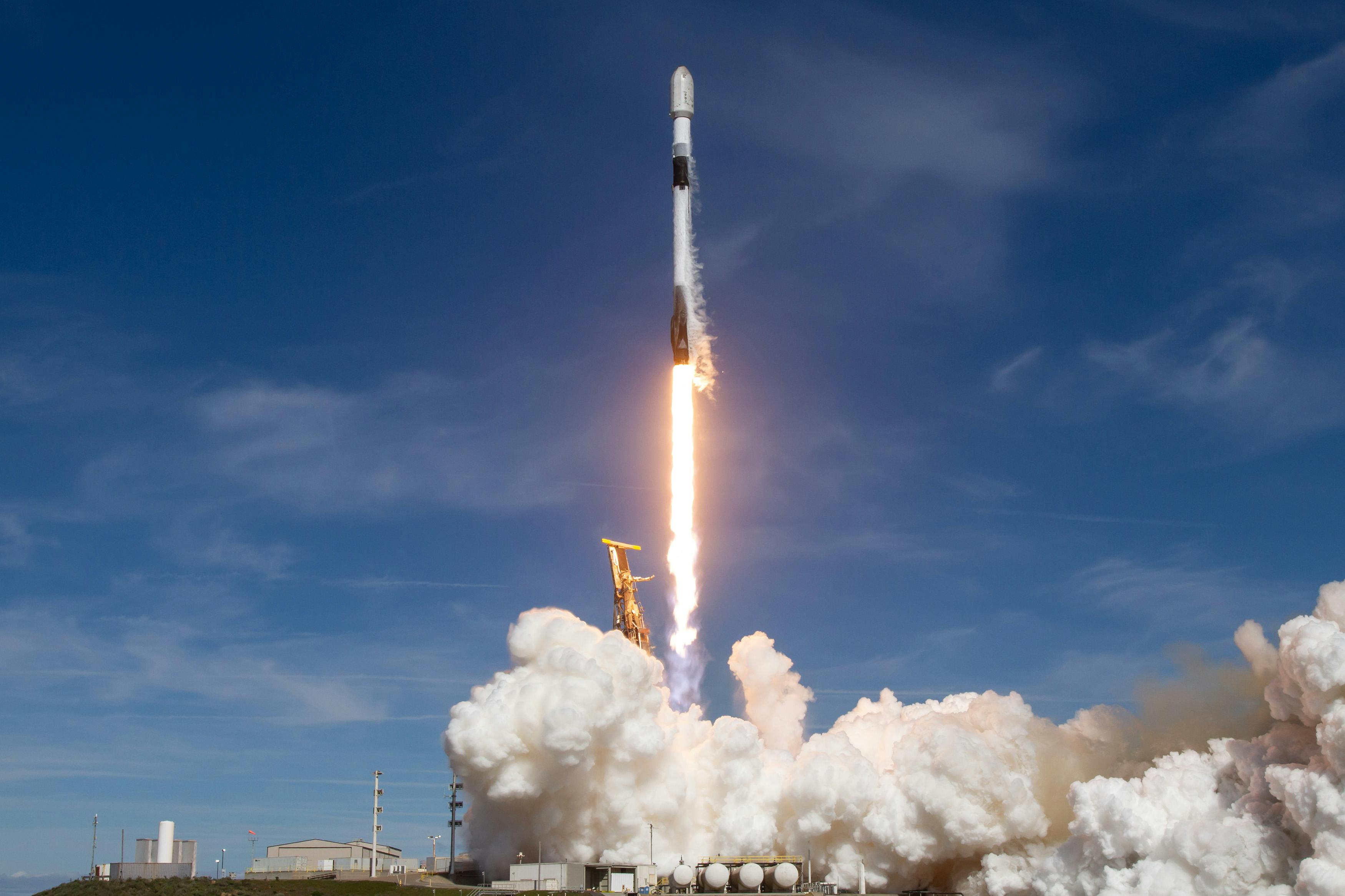
Launch of the MethaneSAT on a rocket. Photo by MethaneSAT.
Anamitra Swarupa • 7 Mar, 2024 • 5 Min
CEFR A2 (Easy)
The satellite is named MethaneSAT.
Launch of the MethaneSAT on a rocket. Photo by MethaneSAT.