NASA Launches Mission to Survey Earth’s Water

NASA has launched a satellite that will help in surveying the water on Earth. What is the purpose of this satellite and when was it launched? Read to find out more.

NASA Launches Mission to Survey Earth’s Water

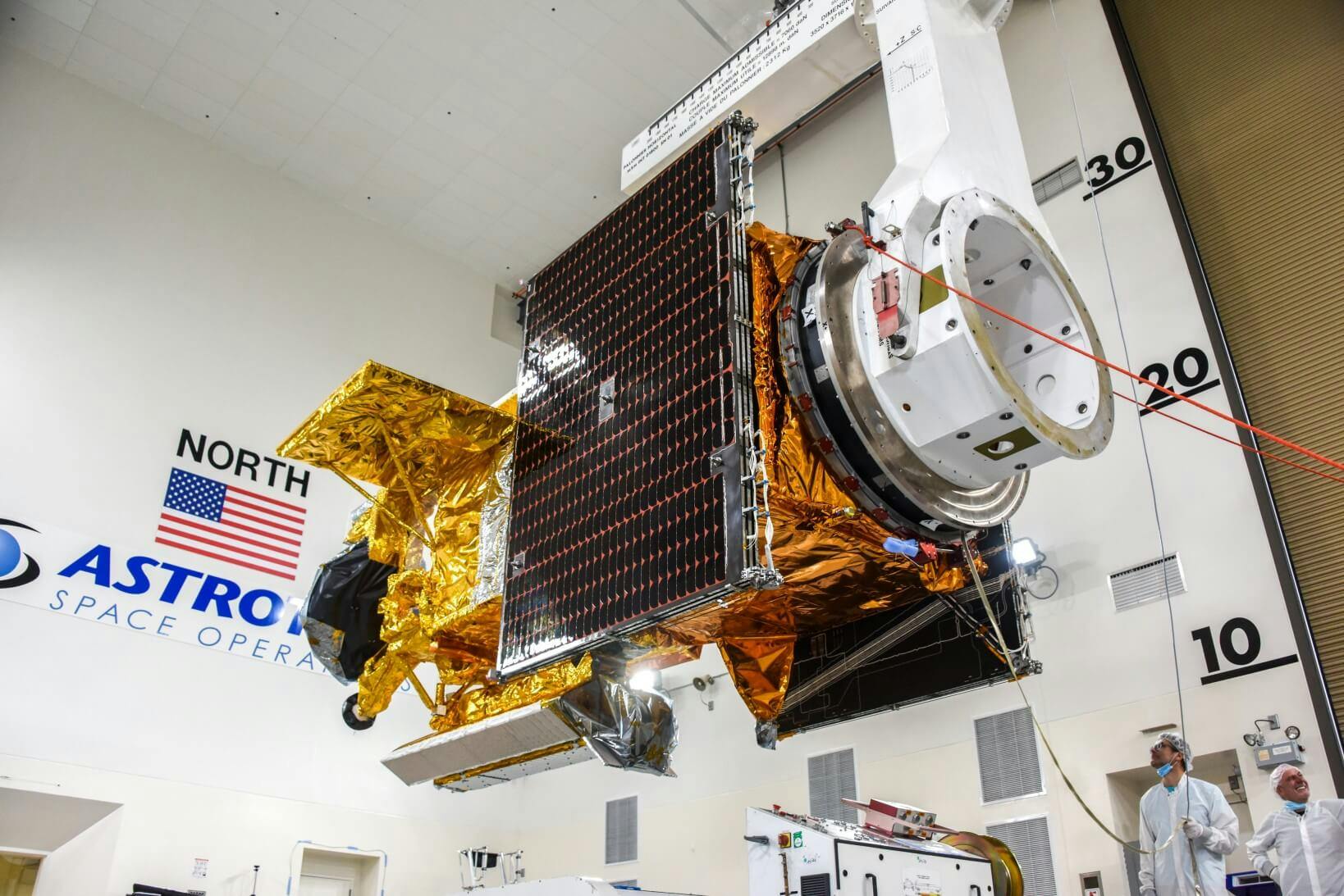
The SWOT satellite that was launched recently. Photo by NASA's Kennedy Space Center.

What has NASA launched?

On 16th December 2022, the National Aeronautics and Space Administration (NASA) launched a satellite named Surface Water and Ocean Topography (SWOT). NASA, the UK Space Agency, and the Canadian Space Agency (CSA) worked together to develop SWOT.

The satellite has been put into an orbit around Earth. In the next few months, SWOT will go through a series of checks before it begins gathering scientific data. This spacecraft was launched with a specific goal in mind. Read on to know what it is.

Why was SWOT launched by NASA?
The launch of the SWOT satellite aboard a SpaceX rocket. Photo by SpaceX.

SWOT will be used to observe much of the water on the surface of our planet. The SWOT satellite will measure the height of water in oceans and freshwater bodies on the Earth's surface.

It will send a large amount of data every day for scientists to study. The satellite will help in a better understanding of the world's freshwater resources. Due to SWOT, information on more than 95% of the world's lakes will be available.

SWOT will help provide sea-level information along the shore in areas without equipment to measure sea surface height.

How will the data from the SWOT mission help?
The SWOT being deployed. Photo by SpaceX.

The data from the SWOT satellite will reveal new knowledge about the connection between the ocean and climate change, and the effects of global warming on lakes, rivers, etc. It will also help in forming methods for communities to prepare for disasters like floods and droughts.

Researchers will be able to track the sea level rise with the use of coastal data. In the case of a disaster, this will aid in the rescue of people living in coastal areas. Researchers will also be able to improve flood predictions for rivers and track the effects of drought on lakes. SWOT will also help fight climate change and sea level rise.

What did we learn from this article?

There is a worldwide water crisis going on that we need to fight together by saving as much water as we can. The satellite will help researchers find more freshwater sources but we have to do our part by not wasting any water.

Do you think it’s important to save water? Please tell us in the comments section.

Hootcoins are not available for this article!

VIEW STORE

Did you read these articles?

© 2024 Newsahoot Media Pvt. Ltd. All rights reserved.